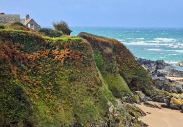
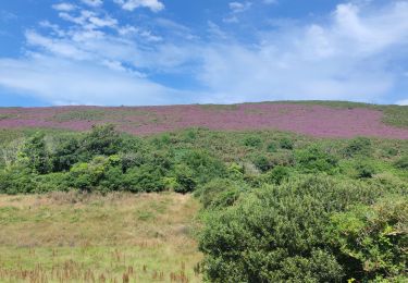
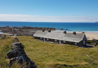
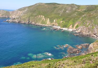
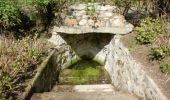
Trail Mountain bike La Hague - Autour de Biville - Circuit n° 11 - Photo

Autour de Biville - Circuit n° 11

 tracegps
tracegps

User

© OpenStreetMap contributors
Length
Length
18.8 km
Max alt
Max alt
171 m
Uphill gradient
Uphill gradient
296 m
Km-Effort
Km-Effort  
23 km
Min alt
Min alt
43 m
Downhill gradient
Downhill gradient
298 m
Boucle
Boucle
Yes
Creation date :
2014-12-10 00:00:00.0
Updated on :
2014-12-10 00:00:00.0

(0 Reviews)

Mountain bike
Mountain bike
1h30
Difficulty : Medium

Scan this QR Code to open this trail in the SityTrail application

FREE GPS app for hiking

Logo SityTrail SityTrail

IGN / Geographical institutes

Download SityTrail from the App Store Download SityTrail from Google Play

Logo SityTrail SityTrail World

The world is yours!

Download SityTrail from the App Store Download SityTrail from Google Play Download SityTrail on Huawei AppGallery

About

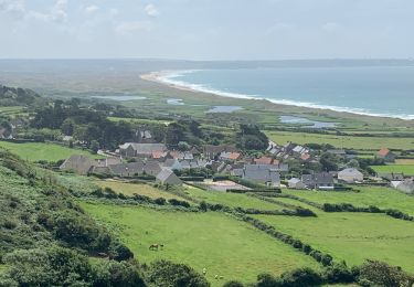
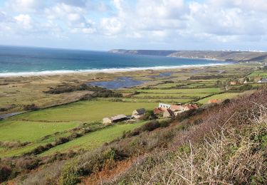
Trail Mountain bike of 18.8 km to be discovered at Normandy, Manche, La Hague. This trail is proposed by tracegps.

Description

Départ : De l’église de Biville. Passez devant la mairie et suivre le «Haut de Biville». L’église Saint Pierre et Saint Paul. D’architecture gothique, l’église possède un chœur du XIIIème siècle orné de petits bas reliefs du XVème. La tour avec son clocher date du XVIIème, mais la grande nef dans le style de la grande salle des chevaliers du Mont-Saint-Michel est beaucoup plus récente (XXème siècle). L’église abrite aussi les reliques du Bienheureux Thomas Hélie, le Saint de la Hague, qui vécue au XIIIème siècle. Croix de la Mielle. Connue également sous le nom de Croix des Camps (croix monolithe du XVIIème siècle) elle est inscrite à la liste de l’Inventaire des Monuments Historiques. Lande Monsieur. Cette lande, traversée par un ruisseau, est un site sauvage où dominent la fougère et l’ajonc légal. C’est un site classé.

Elevation profile

Photos

Positioning

Country:
France
Region :
Normandy
Department/Province :
Manche
Municipality :
La Hague
Location:
Biville
Start:(UTM)
585102 ; 5496318 (30U) N.

Trails nearby

Trail Walking La Hague - Séjour Cotentin Etape 4 Biville - Les Pieux - Photo
Walking
GUIDE
chessyca

Walking

Difficult
La Hague, Normandy, Manche, France
29 km | 35 km-effort
6h 55min
No
Trail Walking La Hague - ioupi biville 01 - Photo
Walking
black2boy

Walking

Easy
(1)
La Hague, Normandy, Manche, France
9.5 km | 11.3 km-effort
2h 11min
Yes
Trail Walking La Hague - Vauville - Photo
Walking
PatRando

Walking

Easy
La Hague, Normandy, Manche, France
7 km | 8 km-effort
1h 48min
Yes
Trail Walking Héauville - Béquille - blockhaus-plage Dielette port et retour - Photo
Walking
FOUBERT

Walking

Easy
Héauville, Normandy, Manche, France
11.8 km | 13.5 km-effort
3h 10min
No
Trail Walking La Hague - Vauville - Côte Soufflée A/R  - Photo
Walking
PascalN

Walking

Very difficult
La Hague, Normandy, Manche, France
22 km | 33 km-effort
4h 32min
Yes
Trail Walking La Hague - Gag - Photo
Walking
adamfv

Walking

Medium
La Hague, Normandy, Manche, France
5.4 km | 8.4 km-effort
1h 46min
No
Trail Walking La Hague - Vauville,  dunes de Biville Héauville - Photo
Walking
PascalN

Walking

Easy
La Hague, Normandy, Manche, France
21 km | 25 km-effort
4h 13min
Yes
Trail Running La Hague - Run and Bike Haguard 2013 - Sainte Croix Hague - Photo
Running
tracegps

Running

Difficult
La Hague, Normandy, Manche, France
21 km | 27 km-effort
2h 30min
Yes
Trail Mountain bike La Hague - Run and Bike Haguard 2013 - Sainte Croix Hague - Photo
Mountain bike
tracegps

Mountain bike

Medium
La Hague, Normandy, Manche, France
21 km | 27 km-effort
1h 30min
Yes


Close
My subscriptions